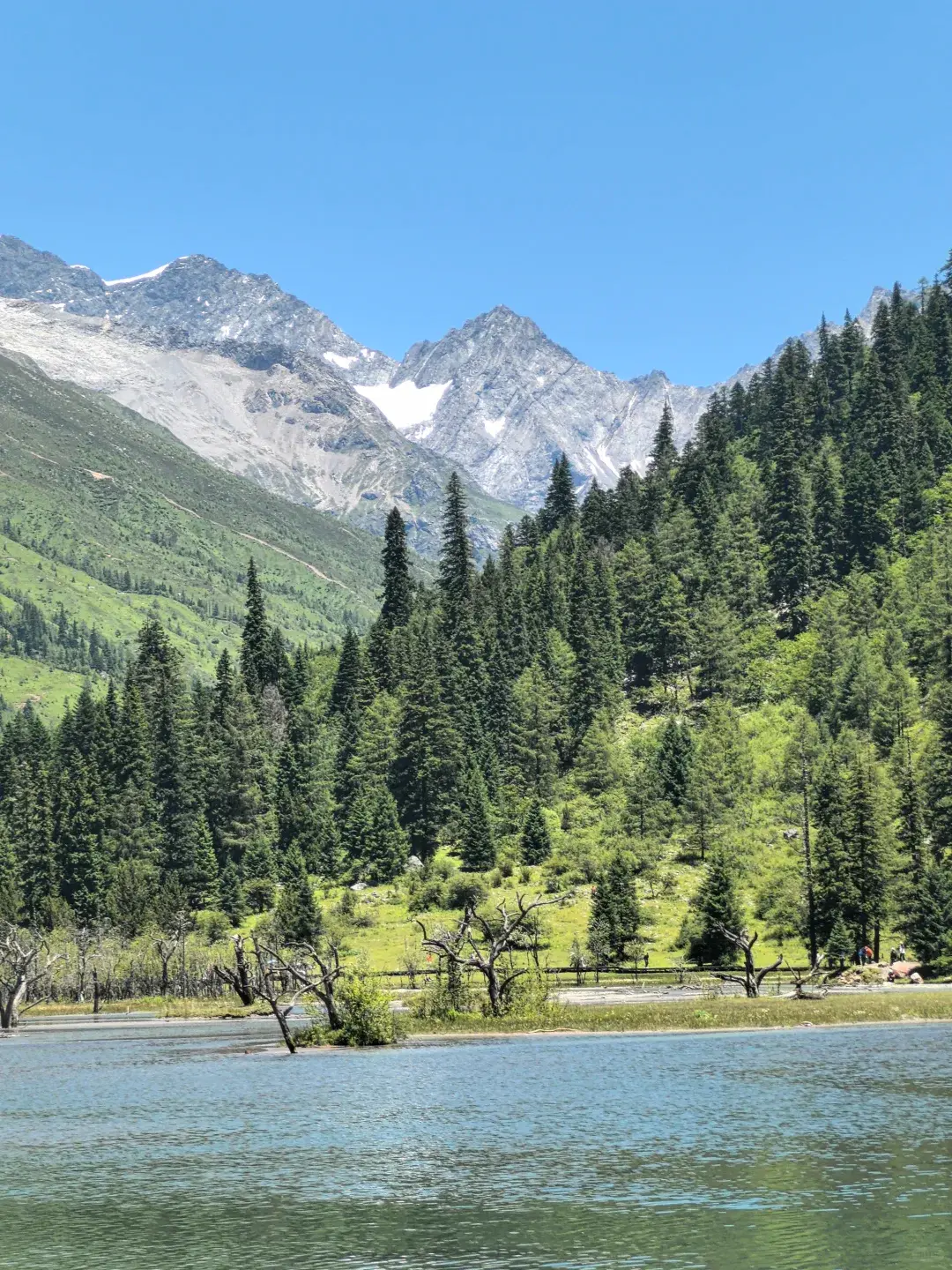
Photo: Chinese Mountains
Mount Siguniang
Siguniang Shan
The Alps of the East — four towering sisters above Tibetan grasslands
About Mount Siguniang
Mount Siguniang (Four Girls Mountain) in western Sichuan is China's premier alpine trekking destination. The mountain's name comes from its four summits — the youngest ('Yaomei Feng' or 'Peak of the Youngest Sister') is the highest at 6,250m and is considered one of China's most technically challenging climbs. But you do not need to be a mountaineer to experience Siguniang's beauty. The three valleys at the mountain's base — Shuangqiao, Changping, and Haizi — offer some of the finest day hiking and multi-day trekking in China, with trails winding through pristine alpine meadows, past turquoise glacial lakes, and beneath towering snow-capped peaks. The landscape changes dramatically with elevation: from dense forests of rhododendron and spruce at 2,800m, through alpine grasslands where yaks graze at 3,500m, to barren rock and permanent snow above 4,500m. Shuangqiao Valley is the most accessible, with a paved road and boardwalks suitable for all fitness levels. Changping Valley offers a full-day hike to a viewpoint directly facing the summit of Yaomei Feng — the 'Four Girls' name is said to come from the legend of four Tibetan sisters who turned to stone to escape a demon. Haizi Valley is the most challenging, with 10+ glacial lakes scattered above 4,000m. The best trekking season is June to October. October is the peak, with golden autumn foliage, clear skies, and the first light snow dusting the summits. Altitude is the main challenge — the valley floors sit at 3,200-3,800m, so spend 1-2 days acclimatizing in nearby Rilong town (3,200m) before attempting longer hikes.
Mountain Facts
Cultural Significance
Premier mountaineering destination. The highest peak Yaomei Feng (6,250m) is one of China's most challenging technical climbs.
Highlights
- • Shuangqiao Valley boardwalk
- • Changping Valley trekking
- • Haizi Valley alpine lakes
- • Yaomei Feng (6,250m)
- • Tibetan villages in Rilong Town
When to Go
June-October is the only full-access season. July-August brings alpine wildflowers at their peak in all three valleys, daytime temperatures 10-25 C, and afternoon thundershowers common after 2 PM — start hikes by 7 AM. September-October is the golden window: the clearest skies of the year, larch forests turning gold at 3,500-4,000m, and the four peaks — especially Yaomei Feng (6,250m) — fully visible; this is prime photography season. Late October-early November adds autumn color before the valleys close. November-May: winter access is possible to Shuangqiao Valley (paved boardwalk) but Changping and Haizi valleys close for snow, and the pass roads from Chengdu can ice over. Spring (April-May) is the dry, windy season with less reliable visibility. Always carry a down jacket — even in August the mornings at 3,800m hover near freezing.
How to Get There
By Air: Fly to Chengdu Shuangliu International Airport (CTU), then either take the 4-5 hour drive over the Balangshan Pass (the new tunnel, open since 2017, shortens the route significantly) or fly on to Jiuzhai Huanglong (JZH) — no, the closest airport with direct road access is Chengdu. By Road: From Chengdu, the classic route is via the Chengdu-Wenchuan-Xiaojin highway: public buses depart from Chengdu Chadianzi Bus Station to Rilong Town (4-5 hours, CNY 100-120). Shared minivans and private hire are faster and more flexible. From Chengdu Shuangliu airport, budget 5 hours by car. Inside the park: three valleys — Shuangqiao (paved road + shuttle buses, easiest), Changping (horse trekking or hiking, 10-14km to the glacier viewpoint), and Haizi (full-day hiking to alpine lakes at 4,000m+). Entry Fee: CNY 150 (2-day ticket CNY 200); shuttle buses in Shuangqiao cost extra (CNY 70).
Frequently Asked Questions
Is Mount Siguniang worth visiting? +
What is the best time to visit Siguniang? +
How do I get to Mount Siguniang? +
How difficult is hiking Siguniang? +
What should I bring for Siguniang? +
You May Also Like
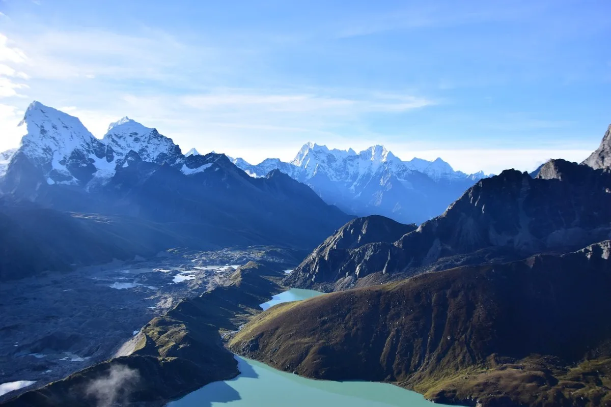
Mount Everest
Qomolangma · Tibet
The roof of the world — stand at the foot of Earth's highest mountain
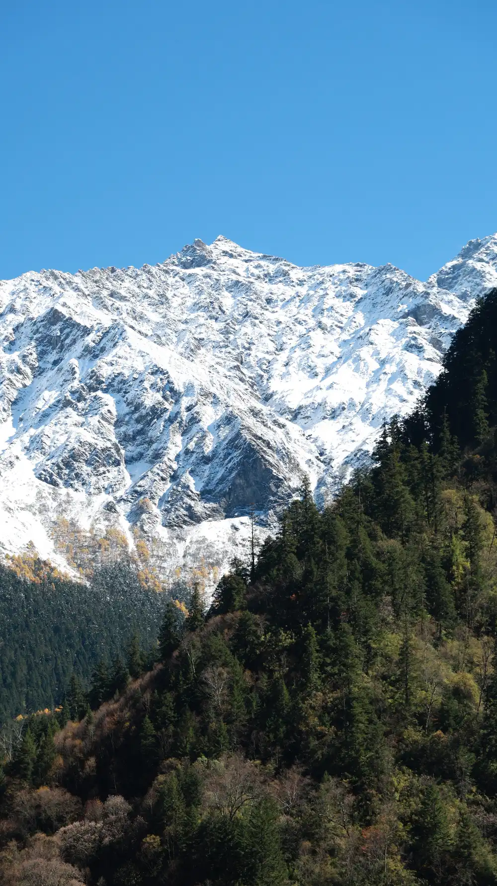
Meili Snow Mountain
Meili Snow Mountain · Yunnan
The sacred unconquered peak — 13 snow summits above a Tibetan valley
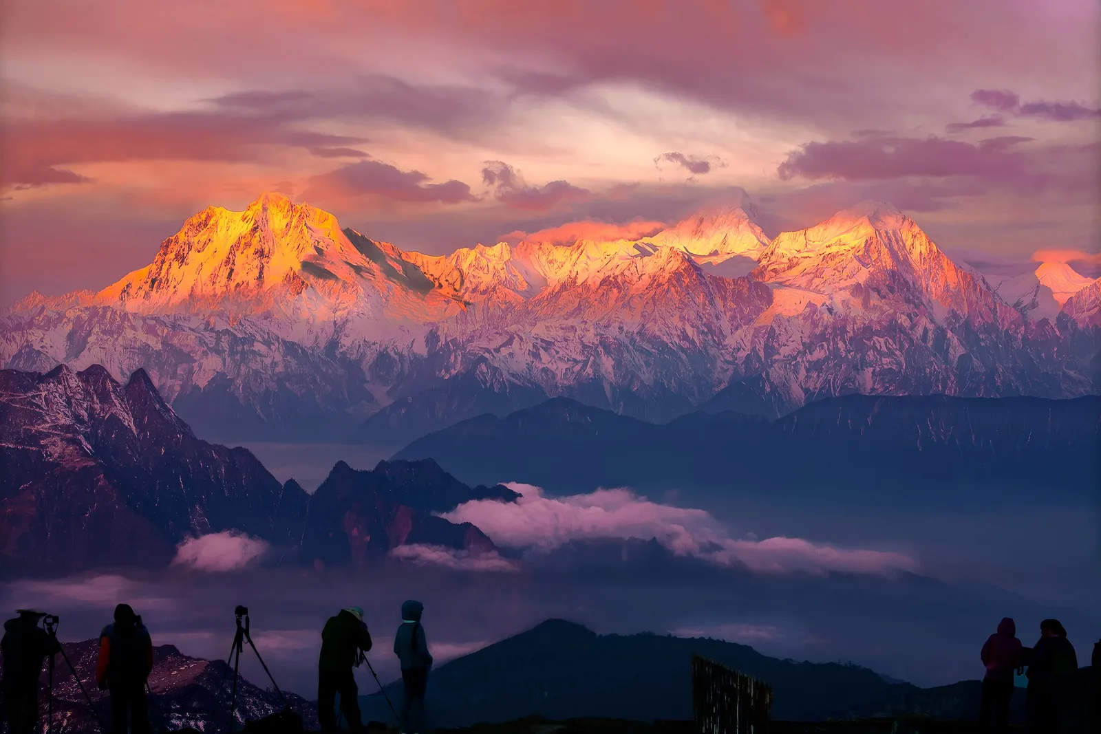
Mount Gongga
Gong Ga Shan · Sichuan
The King of Sichuan mountains — 7,556m of alpine majesty